| Area |
Salmon Creek |
| Topic |
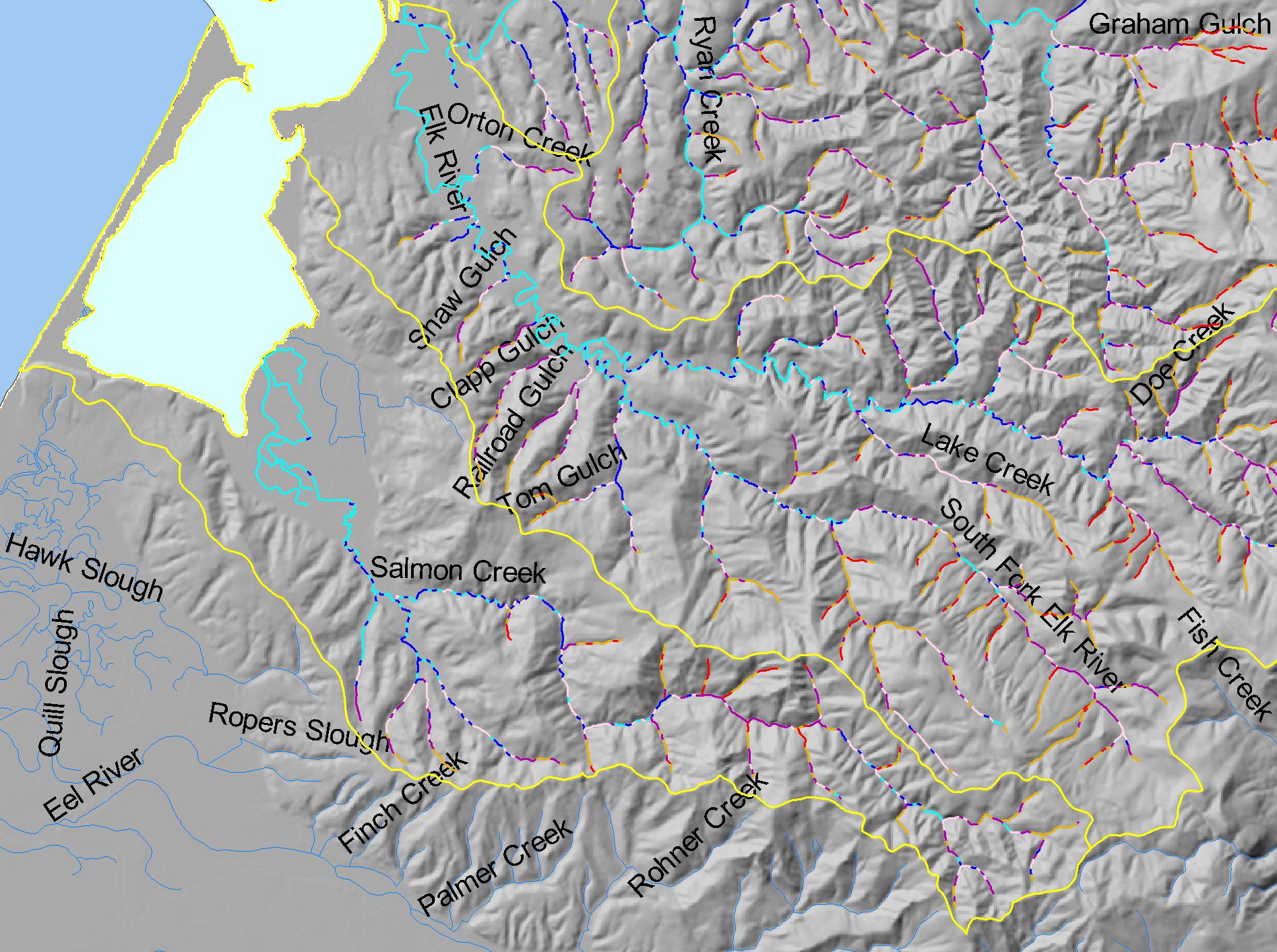
Map: K. Stream Gradient, Salmon Creek Sub-basin |
|
This is a map of the stream gradients in the Salmon Creek sub-basin. Gradient data were calculated by IFR GIS staff using 1:24k stream data and algorithms
developed by Dave Lamphear of the Institute for Forest and Watershed Management at Humboldt State University and Chris Keithley of CDF.
|
|
|
 |
 |
To view metadata about a map layer, click on a link in the table below.
If you obtain KRIS on a CD and install it on your hard drive as a desktop program, you will have access to increased map capabilities such as zooming in/out, turning layers on/off, adding layers and changing legends.