| Area |
Freshwater Creek-Ryan Slough |
| Topic |
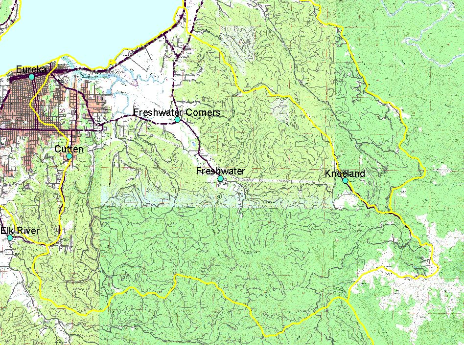
Map: C. Roads, Freshwater Creek Sub-basin |
To view a more detailed version of this map click
here
|
This is a map of roads in the Freshwater Creek sub-basin. Data at 1:100k were obtained from the CA Spatial Information Library and at 1:24k from Legacy, The
Landscape Connection.
|
|
|
 |
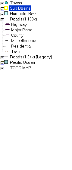 |
To view metadata about a map layer, click on a link in the table below.
If you obtain KRIS on a CD and install it on your hard drive as a desktop program, you will have access to increased map capabilities such as zooming in/out, turning layers on/off, adding layers and changing legends.