
| Area | Middle Klamath |
| Topic | Map: Mid Klamath Water Quantity Monitoring Sites (hotlinked) |
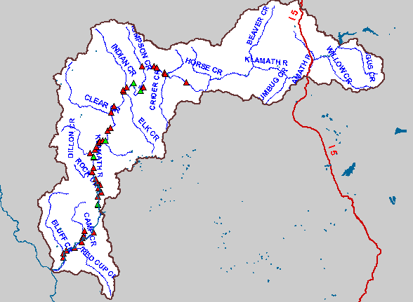
| This is a map of the flow monitoring sites in the Middle Klamath. Monitoring was conducted by the Karuk Tribe, US Fish and Wildlife Service, and US Forest Service. Flow monitoring sites shown in red are hotlinked to charts. To view a chart, click on a red rectangle. Use the Pan (hand icon) and Zoom (magnifying glass icons) tools to move around the map. | |||
 |
 |
||
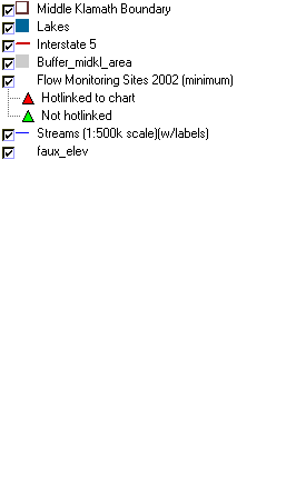
To view metadata about a map layer, click on a link in the table below.
| Name of Layer in Map Legend | Metadata File Name |
|---|---|
| Middle Klamath Boundary | midkl_area.shp.txt |
| Lakes | lakes.shp.txt |
| Interstate 5 | i5.shp.txt |
| Buffer_midkl_area | buffer_midkl_area.shp.txt |
| Flow Monitoring Sites 2002 (minimum) | flow_sites.shp.txt |
| Streams (1:500k scale)(w/labels) | mdstm500.shp.txt |
| Elevation (in Meters) | mk_elev.tif.txt |
| Grey Hillshade | mk_hlshd.tif.txt |
| faux_elev | faux_elev.shp.txt |
| www.krisweb.com |