| Area |
Freshwater Creek-Ryan Slough |
| Topic |
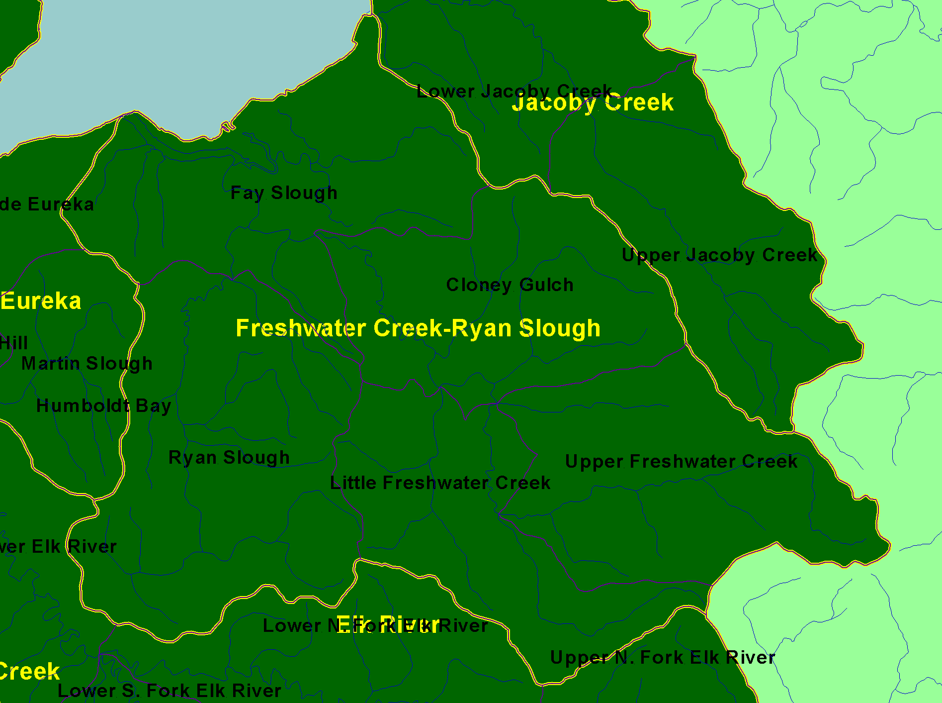
Map: A. Planning Watersheds & Streams, Freshwater Creek Sub-basin |
|
This map shows the Calwater Planning Watersheds within the Freshwater Creek sub-basin, displayed with 1:100k streams and sub-basins. Scale = 1:52,287 .
|
|
|
 |
 |
To view metadata about a map layer, click on a link in the table below.
| Name of Layer in Map Legend | Metadata File Name |
|---|
| Streams (1:100k) [HSU] | stm100.shp.txt |
| Calwater Planning Watersheds w/labels (CDF) | calw22.shp.txt |
| Sub-basin w/labels | subbasins.shp.txt |
| State of California | Unavailable |
| Pacific Ocean | Unavailable |
If you obtain KRIS on a CD and install it on your hard drive as a desktop program, you will have access to increased map capabilities such as zooming in/out, turning layers on/off, adding layers and changing legends.