| Area |
Freshwater Creek-Ryan Slough |
| Topic |
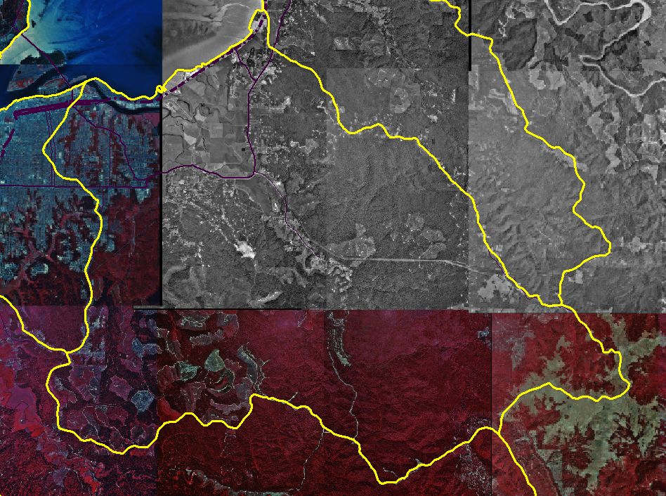
Map: O. Digital Orthophotos (DOQs), Freshwater Creek Sub-basin |
To view a more detailed version of this map click
here
|
This is a map of the digital orthophoto quadrangles (DOQs) in the Freshwater Creek sub-basin. Data were obtained from the CASIL website.
|
|
|
 |
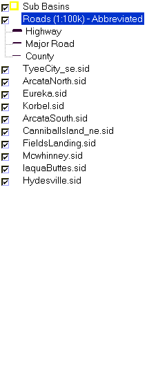 |
To view metadata about a map layer, click on a link in the table below.
| Name of Layer in Map Legend | Metadata File Name |
|---|
| Sub Basins | subbasins.shp.txt |
| Roads (1:100k) - Abbreviated | Unavailable |
| TyeeCity_se.sid | Unavailable |
| ArcataNorth.sid | Unavailable |
| Eureka.sid | Unavailable |
| Korbel.sid | Unavailable |
| ArcataSouth.sid | Unavailable |
| CannibalIsland_ne.sid | Unavailable |
| FieldsLanding.sid | Unavailable |
| Mcwhinney.sid | Unavailable |
| IaquaButtes.sid | Unavailable |
| Hydesville.sid | Unavailable |
If you obtain KRIS on a CD and install it on your hard drive as a desktop program, you will have access to increased map capabilities such as zooming in/out, turning layers on/off, adding layers and changing legends.