| Area |
Basin-wide/Regional |
| Topic |
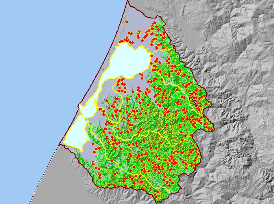
Map: Q. Road Stream Crossings, Humboldt Bay |
To view a more detailed version of this map click
here
|
This is a map of the themes related to road-stream crossings in the Humboldt Bay Basin. Data were calculated with GIS software using road and stream data at 1:24k
scale.
|
|
|
 |
 |
To view metadata about a map layer, click on a link in the table below.
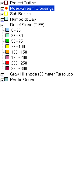
| Name of Layer in Map Legend | Metadata File Name |
|---|
| Project Outline | Unavailable |
| Road-Stream Crossings | cwxings.shp.txt |
| Sub Basins | subbasins.shp.txt |
| Humboldt Bay | Unavailable |
| Relief Slope (TIFF) | Unavailable |
| Gray Hillshade (30 meter Resolution) [TIFF] | grayshade30m.tif.txt |
| Pacific Ocean | Unavailable |
If you obtain KRIS on a CD and install it on your hard drive as a desktop program, you will have access to increased map capabilities such as zooming in/out, turning layers on/off, adding layers and changing legends.