
| Area | Basinwide/Regional |
| Topic | Sediment: Matthews Erosion Channel Banks (vol/yr) for All Basins |
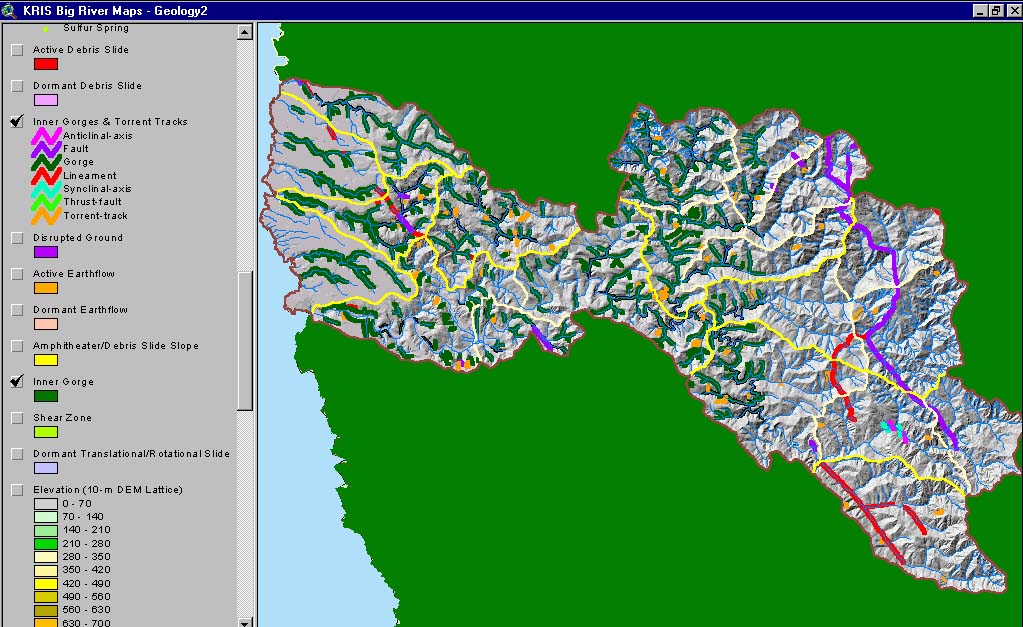
This image shows Big River inner gorges mapped by California Department of Conservation Division of Mines and Geology in the early 1980's. This map is from the Big River KRIS Map Project.
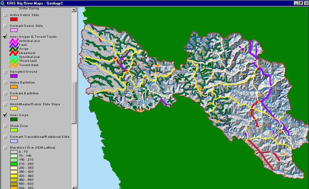 Click on image to enlarge (98K). Click here to display a larger version (174K).
To learn more about this topic click here
www.krisweb.com