| Area |
Sonoma Creek |
| Topic |
Temperature: Floating Weekly Average, Sonoma Creek Four Sites 2001 |
|
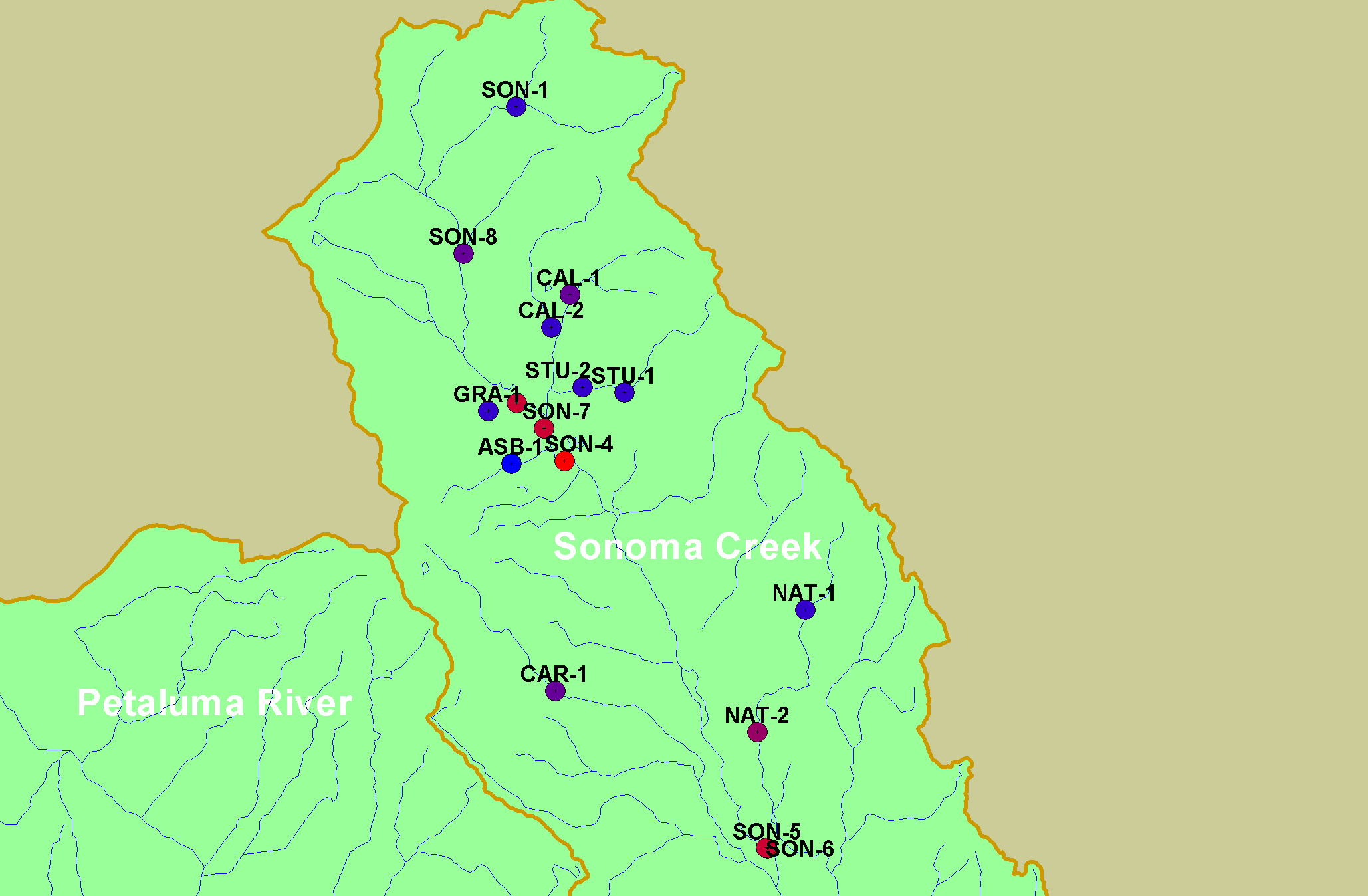
This map shows Sonoma Ecology Center temperature monitoring stations in the Sonoma Creek sub-basin, overlaid on top of USGS 1:100,000 scale streams and
sub-basins.
|
|
|
 |
 |
To view metadata about a map layer, click on a link in the table below.
If you obtain KRIS on a CD and install it on your hard drive as a desktop program, you will have access to increased map capabilities such as zooming in/out, turning layers on/off, adding layers and changing legends.