| Area |
Arroyo Corte Madera |
| Topic |
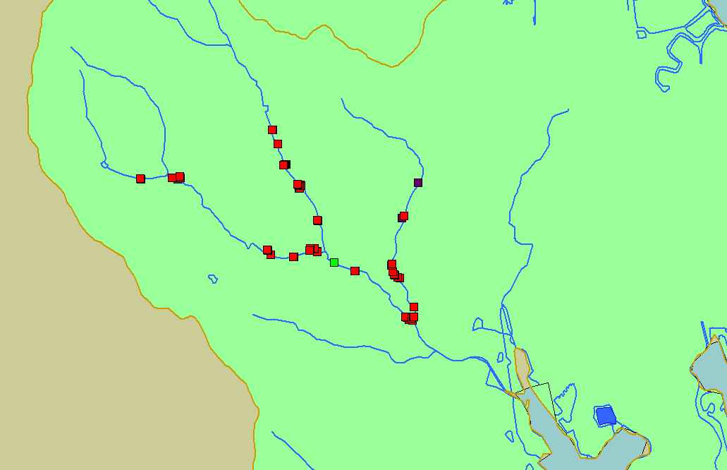
Map: 2B. Potential Fish Barriers, Arroyo Corte Madera Creek |
To view a more detailed version of this map click
here
|
This map shows locations of potential fish barriers observed by Kier Associates during a habitat survey of Arroyo Corte Madera Creek and its tributaries during
spring 2003. Scale = 1:33,802 .
|
|
|
 |
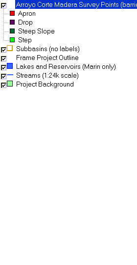 |
To view metadata about a map layer, click on a link in the table below.
| Name of Layer in Map Legend | Metadata File Name |
|---|
| Arroyo Corte Madera Survey Points (barriers only) | acm_points_kier8_03.shp.txt |
| Subbasins (no labels) | subbasins.shp.txt |
| Frame Project Outline | Unavailable |
| Lakes and Reservoirs (Marin only) | Unavailable |
| Streams (1:24k scale) | streams24.shp.txt |
| Project Background | Unavailable |
If you obtain KRIS on a CD and install it on your hard drive as a desktop program, you will have access to increased map capabilities such as zooming in/out, turning layers on/off, adding layers and changing legends.