| Area |
West Branch Sheepscot |
| Topic |
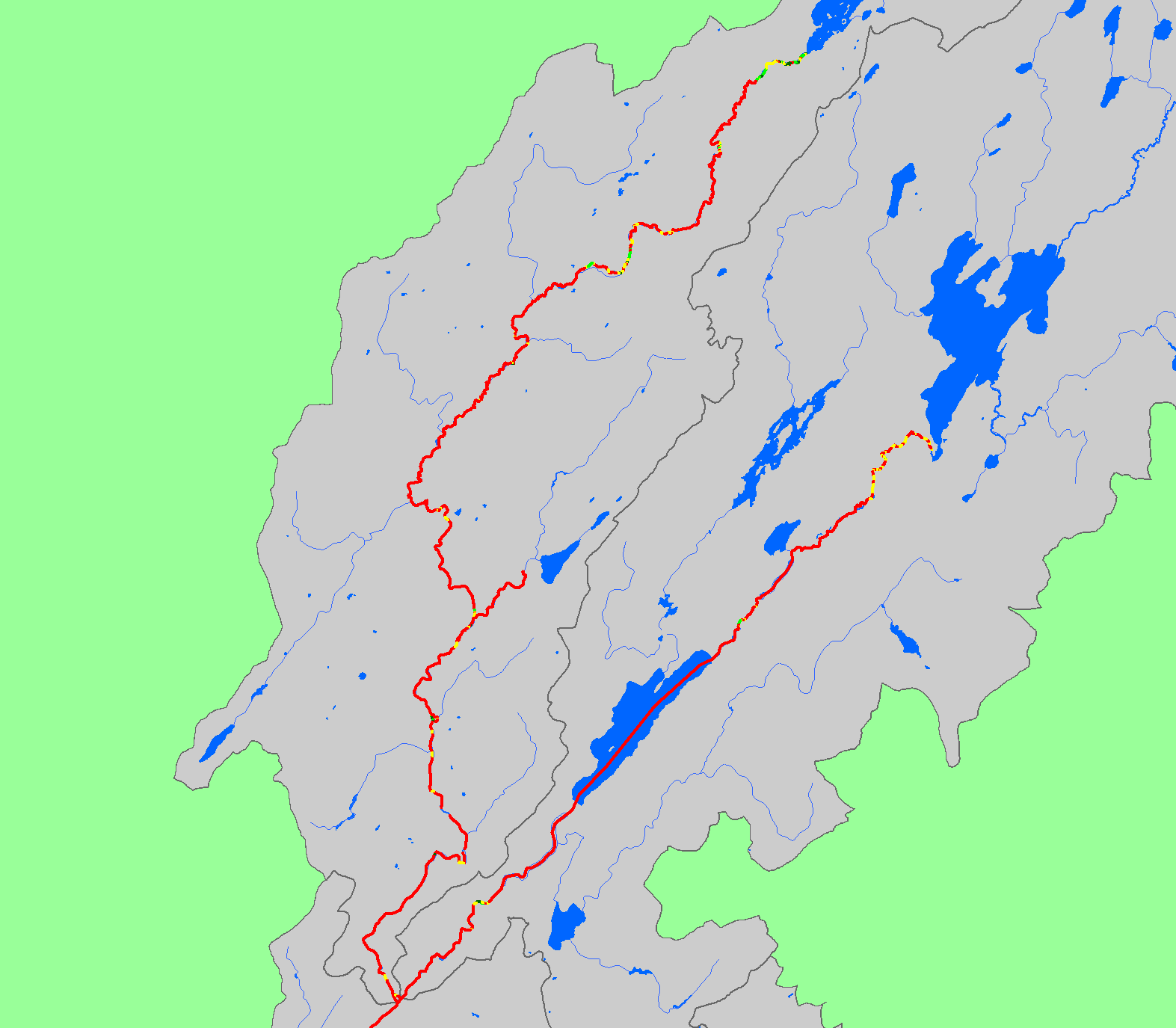
Habitat: Canopy in West Branch Sheepscot Sub-basin 1997-1999 |
|
The map shows canopy coverage for habitat units in the West Branch Sheepscot sub-basin during 1997-1999 habitat surveys by the Maine Atlantic
Salmon Commission and U.S. Fish and Wildlife Service. Also displayed are waterbodies, sub-basins, and 1:100,000 scale streams.
|
|
|
 |
 |
To view metadata about a map layer, click on a link in the table below.
If you obtain KRIS on a CD and install it on your hard drive as a desktop program, you will have access to increased map capabilities such as zooming in/out, turning layers on/off, adding layers and changing legends.