| Area |
West Branch Sheepscot |
| Topic |
Fish: Electrofishing - Species Captured in Hewitt Brook 2001 |
|
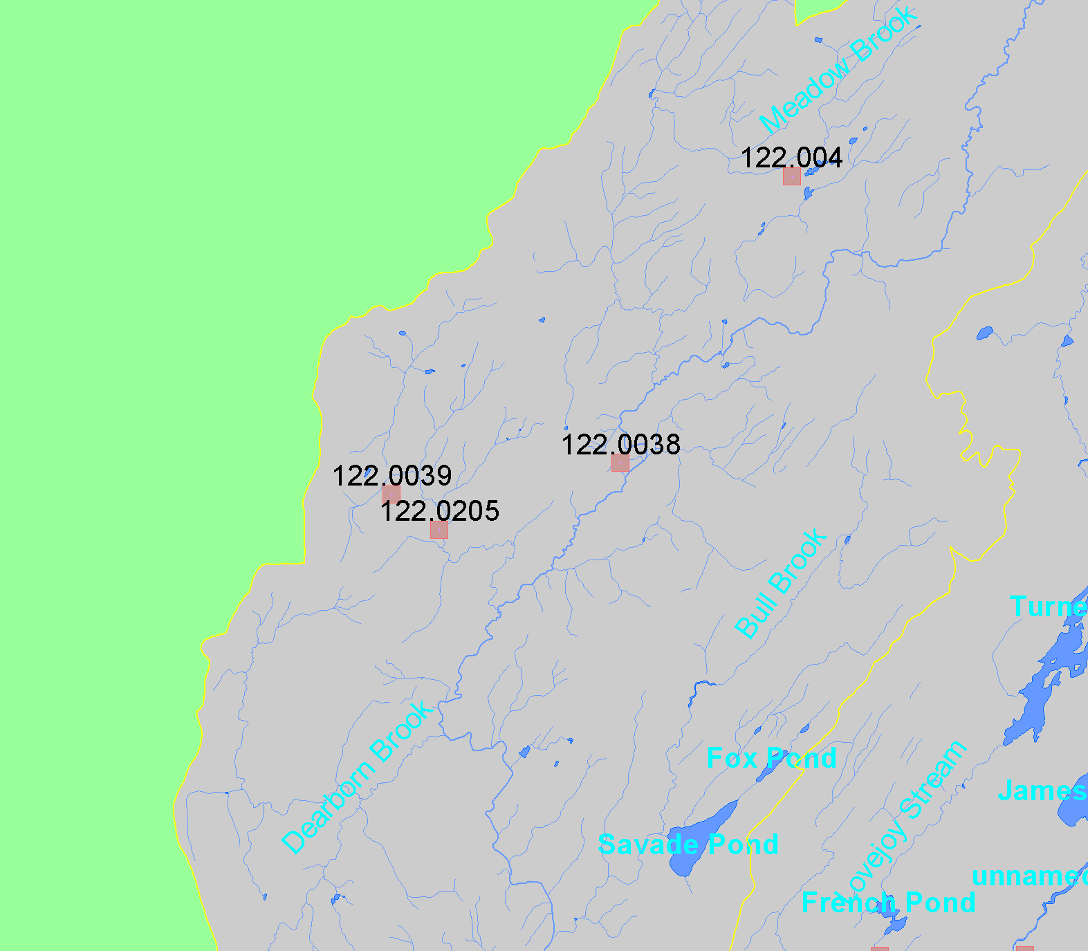
This map shows the location of electrofishing sampling conducted in the middle portion of the West Branch Sheepscot sub-basin, displayed along with
1:24,000 streams and lakes. Sites are labeled by LOCATIONID. Data were collected by Maine Department of Inland Fisheries and Wildlife. Click the
check box next to a layer to toggle it on/off. Other available themes include Topographic Maps, Populated Places, Streams, and a grayscale hillshade. Scale = 1:36,842 .
|
|
|
 |
 |
To view metadata about a map layer, click on a link in the table below.
If you obtain KRIS on a CD and install it on your hard drive as a desktop program, you will have access to increased map capabilities such as zooming in/out, turning layers on/off, adding layers and changing legends.