| Area |
Basin-wide/Regional |
| Topic |
Habitat: Survey Reach Length in Sheepscot Watershed 1997-1999 |
|
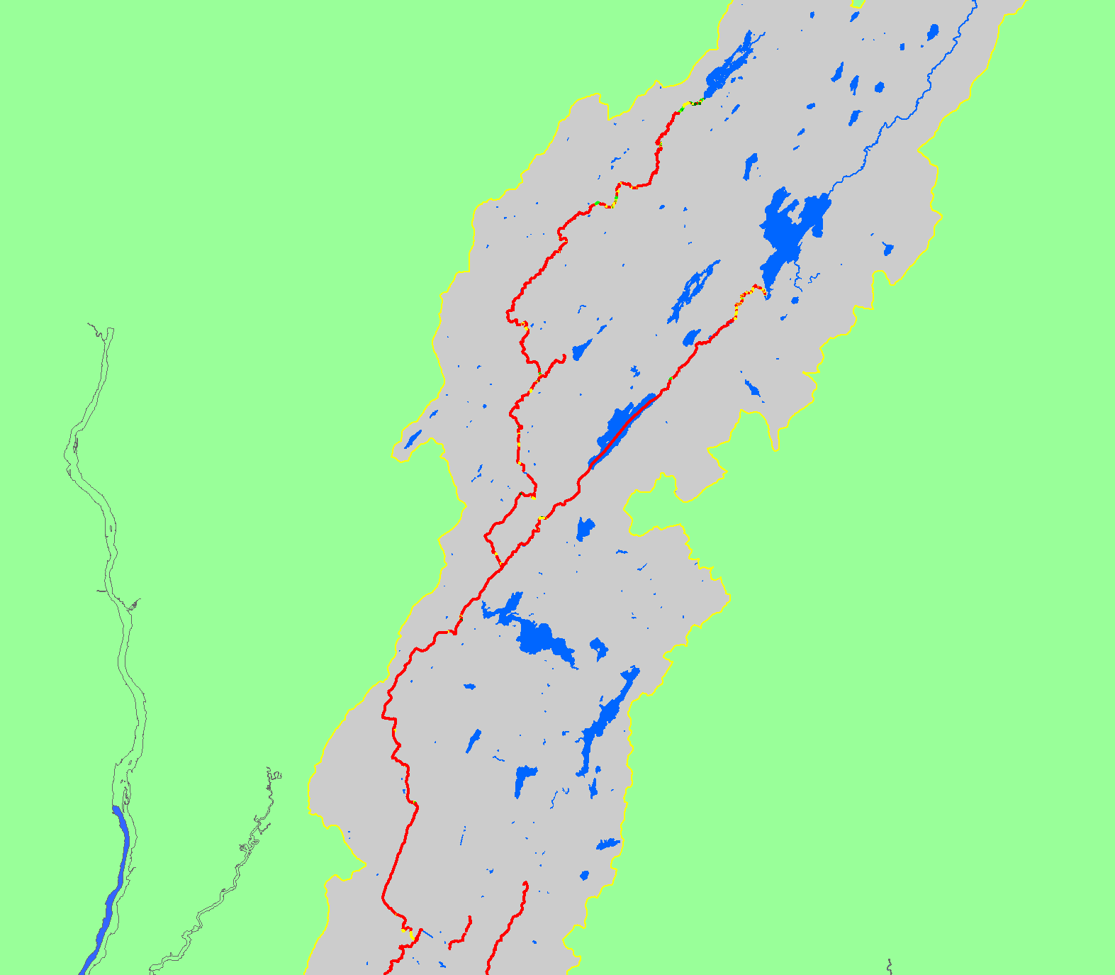
The map shows canopy coverage for habitat units in streams surveyed in the Sheepscot River and its tributaries during 1997-1999 habitat surveys by the
Maine Atlantic Salmon Commission and U.S. Fish and Wildlife Service. Also displayed are waterbodies and sub-basins.
|
|
|
 |
 |
To view metadata about a map layer, click on a link in the table below.
| Name of Layer in Map Legend | Metadata File Name |
|---|
| Sheepscot Watershed Boundary | Unavailable |
| Frame Project Outline | Unavailable |
| Atlantic Salmon Habitat - Canopy [USFWS] | ashab2.shp.txt |
| Mainstem and WB Sheepscot River (1:24k) | shpscotriv24.shp.txt |
| Waterbodies (no labels) | sheeppnd.shp.txt |
| Project Background | Unavailable |
If you obtain KRIS on a CD and install it on your hard drive as a desktop program, you will have access to increased map capabilities such as zooming in/out, turning layers on/off, adding layers and changing legends.