| Area |
Below Head Tide |
| Topic |
Fish: Adult Atlantic Salmon Captured at the Sheepscot Weir 1994-1996 |
|
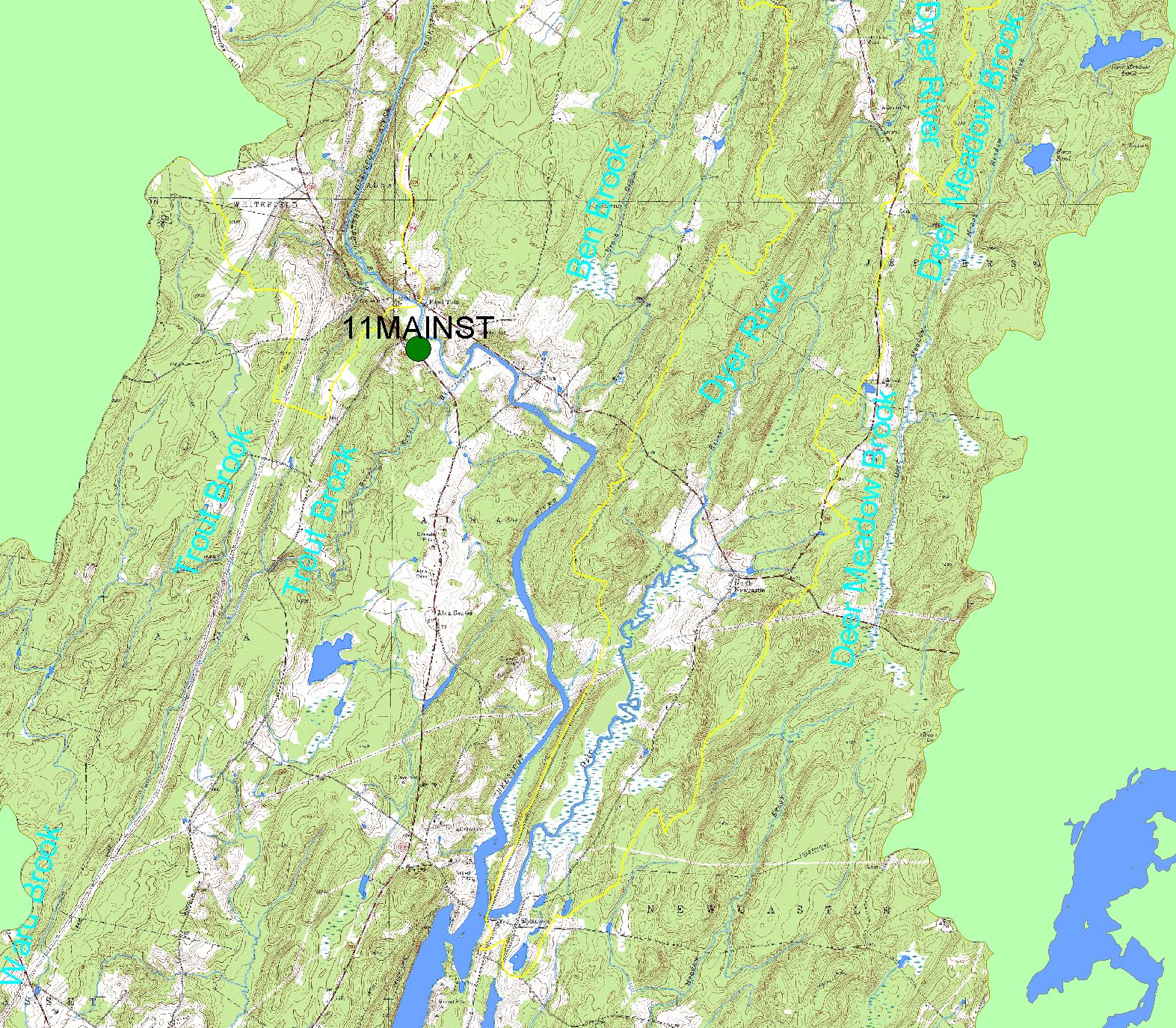
This map shows the location of the U.S. Fish and Wildlife Service (USFWS) fish weir, displayed along with 1:24,000 streams, a topographic map, lakes,
sub-basin boundaries, and populated places. Located on the lower Sheepscot River near Alna,, the wier was used by the USFWS to trap adult Atlantic
salmon. A database of the results is maintained by the Maine Atlantic Salmon Commission.
|
|
|
 |
 |
To view metadata about a map layer, click on a link in the table below.
If you obtain KRIS on a CD and install it on your hard drive as a desktop program, you will have access to increased map capabilities such as zooming in/out, turning layers on/off, adding layers and changing legends.