| Area |
Below Head Tide |
| Topic |
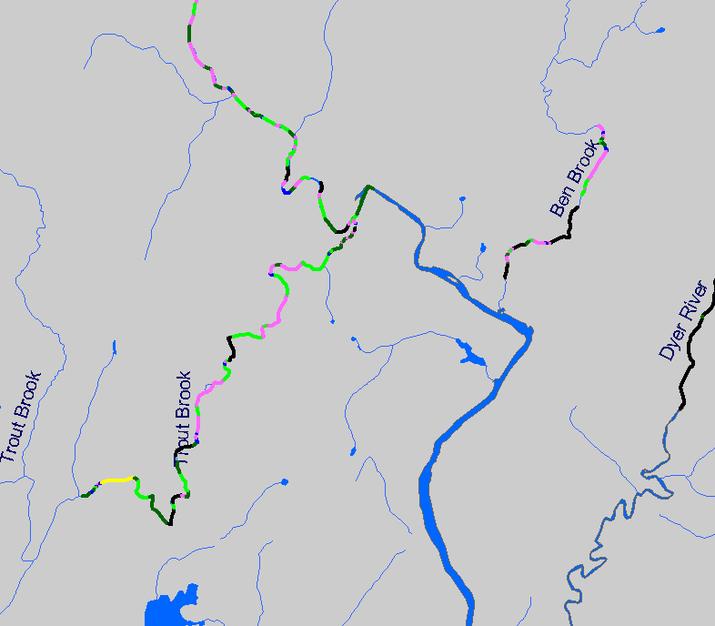
Habitat: Habitat Types in Below Head Tide Sub-basin 1997-1999 |
To view a more detailed version of this map click
here
|
The map shows habitat types in streams surveyed in the Below Head Tide Sheepscot sub-basin during 1997-1999 habitat surveys by the Maine Atlantic
Salmon Commission and U.S. Fish and Wildlife Service. Also displayed are waterbodies, sub-basins, and 1:24,000 scale streams.
|
|
|
 |
 |
To view metadata about a map layer, click on a link in the table below.
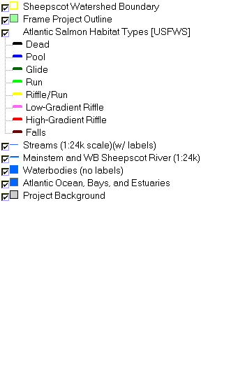
| Name of Layer in Map Legend | Metadata File Name |
|---|
| Sheepscot Watershed Boundary | Unavailable |
| Frame Project Outline | Unavailable |
| Atlantic Salmon Habitat Types [USFWS] | ashab2.shp.txt |
| Streams (1:24k scale)(w/ labels) | stream24_sheep.shp.txt |
| Mainstem and WB Sheepscot River (1:24k) | shpscotriv24.shp.txt |
| Waterbodies (no labels) | sheeppnd.shp.txt |
| Atlantic Ocean, Bays, and Estuaries | Unavailable |
| Project Background | Unavailable |
If you obtain KRIS on a CD and install it on your hard drive as a desktop program, you will have access to increased map capabilities such as zooming in/out, turning layers on/off, adding layers and changing legends.