Area/Topic  |  Bibliography   |  Background   |  Hypotheses   |  Home


Photo Database Series Tour- Trout Brook Watershed 2004
Click on any thumbnail to see a larger photo. For detailed information on these photos click here.

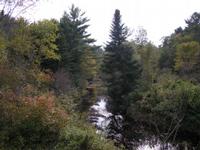
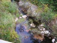
../sheep_ifr_04/sheep_2004-10-09_12-01-28.jpg + 166 KB   166 KB
This photo shows Trout Brook where it crosses under Highway 218. This site is located in the Below Head Tide sub-basin. Photograph was taken by Eli Asarian on 10/9/2004.

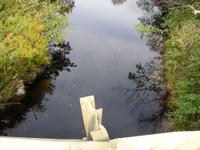
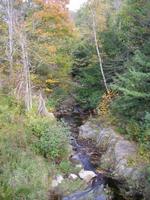
../sheep_ifr_04/sheep_2004-10-09_12-01-55.jpg + 144 KB   144 KB
This photo shows Trout Brook where it crosses under Highway 218. This site is located in the Below Head Tide sub-basin. Photograph was taken by Eli Asarian on 10/9/2004.

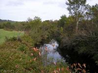
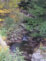
../sheep_ifr_04/sheep_2004-10-09_12-02-10.jpg + 114 KB   114 KB
This photo shows Trout Brook where it crosses under Highway 218. This site is located in the Below Head Tide sub-basin. Photograph was taken by Eli Asarian on 10/9/2004.

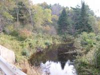
../sheep_ifr_04/sheep_2004-10-09_12-02-26.jpg + 126 KB   126 KB
This photo shows Trout Brook where it crosses under Highway 218. This site is located in the Below Head Tide sub-basin. Photograph was taken by Eli Asarian on 10/9/2004.

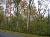
../sheep_ifr_04/sheep_2004-10-09_12-06-38.jpg + 193 KB   193 KB
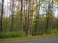
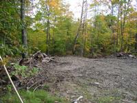
This photo shows a scene in the Trout Brook watershed along West Alna Road. This site is located in the Below Head Tide sub-basin. Photograph was taken by Eli Asarian on 10/9/2004.

../sheep_ifr_04/sheep_2004-10-09_12-06-43.jpg + 197 KB   197 KB
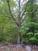
This photo shows a scene in the Trout Brook watershed along West Alna Road. This site is located in the Below Head Tide sub-basin. Photograph was taken by Eli Asarian on 10/9/2004.

../sheep_ifr_04/sheep_2004-10-09_12-07-12.jpg + 187 KB   187 KB
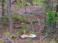
This photo shows a scene in the Trout Brook watershed along West Alna Road. This site is located in the Below Head Tide sub-basin. Photograph was taken by Eli Asarian on 10/9/2004.

../sheep_ifr_04/sheep_2004-10-09_12-09-11.jpg + 165 KB   165 KB
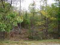
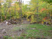
This photo shows a scene in the Trout Brook watershed along West Alna Road. This site is located in the Below Head Tide sub-basin. Photograph was taken by Eli Asarian on 10/9/2004.

../sheep_ifr_04/sheep_2004-10-09_12-09-33.jpg + 182 KB   182 KB
This photo shows a scene in the Trout Brook watershed along West Alna Road. This site is located in the Below Head Tide sub-basin. Photograph was taken by Eli Asarian on 10/9/2004.

../sheep_ifr_04/sheep_2004-10-09_12-10-55.jpg + 204 KB   204 KB
This photo shows a scene in the Trout Brook watershed along West Alna Road. This site is located in the Below Head Tide sub-basin. Photograph was taken by Eli Asarian on 10/9/2004.

../sheep_ifr_04/sheep_2004-10-09_12-11-41.jpg + 206 KB   206 KB
This photo shows a scene in the Trout Brook watershed along West Alna Road. This site is located in the Below Head Tide sub-basin. Photograph was taken by Eli Asarian on 10/9/2004.

../sheep_ifr_04/sheep_2004-10-09_12-16-37.jpg + 218 KB   218 KB
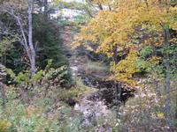
This photo shows Trout Brook where it crosses West Alna Road. This site is located in the Below Head Tide sub-basin. Photograph was taken by Eli Asarian on 10/9/2004.

../sheep_ifr_04/sheep_2004-10-09_12-17-04.jpg + 199 KB   199 KB
This photo shows Trout Brook where it crosses West Alna Road. This site is located in the Below Head Tide sub-basin. Photograph was taken by Eli Asarian on 10/9/2004.

../sheep_ifr_04/sheep_2004-10-09_12-17-26.jpg + 193 KB   193 KB
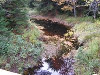
This photo shows Trout Brook where it crosses West Alna Road. This site is located in the Below Head Tide sub-basin. Photograph was taken by Eli Asarian on 10/9/2004.

../sheep_ifr_04/sheep_2004-10-09_12-17-47.jpg + 192 KB   192 KB
This photo shows Trout Brook where it crosses West Alna Road. This site is located in the Below Head Tide sub-basin. Photograph was taken by Eli Asarian on 10/9/2004.

../sheep_ifr_04/sheep_2004-10-09_12-17-58.jpg + 164 KB   164 KB
This photo shows Trout Brook where it crosses West Alna Road. This site is located in the Below Head Tide sub-basin. Photograph was taken by Eli Asarian on 10/9/2004.


  www.krisweb.com