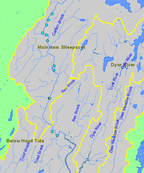
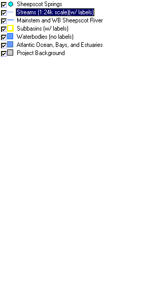
| This map shows the location of known coldwater refugia in the Mainstem Sheepscot and Below Head Tide sub-basins, displayed along with 1:24,000 streams and lakes. Data were collected during habitat surveys by the Maine Atlantic Salmon Commission and the U.S. Fish and Wildlife Service. This map should be considered only a partial inventory of refugia in the Sheepscot watershed. | |
||
 |
 |
||