|
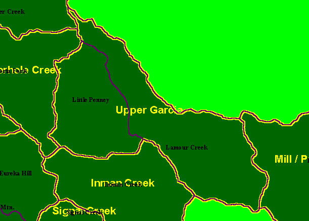
This is a map of the Calwater Planning Watersheds (purple outlines with black labels) in the Upper Garcia sub-basin, with KRIS
sub-basins (yellow outlines). Little Penny and Larmour Creek are the only Calwater Planning Watersheds in the Upper Garcia
sub-basin. The mainstem Garcia River starts at the eastern boundary of the KRIS Upper Garcia sub-basin and runs downstream to
the mouth of Blue Waterhole Creek. Note that Larmour Creek was mis-spelled Lamour Creek in the attribute table of the
ArcView shapefile provided to KRIS, and that is why it is labelled "Lamour" on this map. Scale = 1:92,094 .
|
|


