| Area | North Fork Garcia |
| Topic | Habitat: Habitat Categories by Length NF Garcia 1991 |
This habitat maps shows the North Fork Garcia River in its lower reaches, upstream of the convergence with the mainstem. As this form notes, the lowest reaches of the North Fork dry up in late summer, often stranding many juvenile steelhead.
Habitat notes from biological observations of a low gradient riffle from a habitat typing survey of the North Fork Garcia River in September 1991.
This is a habitat map of a step run in the lower North Fork Garcia River made as part of a biological inventory related to a September 1991 habitat typing survey.
This is a habitat map of a lateral scour bedrock pool with poor cover on the North Fork Garcia River made as part of a biological inventory related to a September 1991 habitat typing survey.
This is a habitat map of a log formed lateral scour pool in the North Fork Garcia River made as part of a biological inventory related to a September 1991 habitat typing survey.
This is a habitat map of a highly utilized lateral scour boulder pool in lower North Fork Garcia River. The map was made as part of a biological inventory related to a September 1991 habitat typing survey.
This is a habitat map of a trench pool, well up the North Fork Garcia River, made as part of a biological inventory related to a September 1991 habitat typing survey.
Upper most habitat unit surveyed as part of September 1991 habitat typing survey of the North Fork Garcia River.
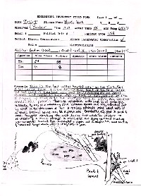 Click on image to enlarge (131K).
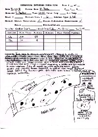 Click on image to enlarge (126K).
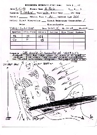 Click on image to enlarge (125K).
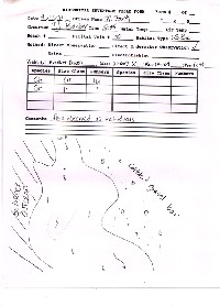 Click on image to enlarge (140K).
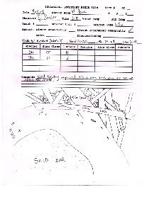 Click on image to enlarge (152K).
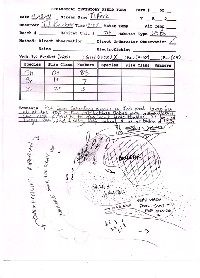 Click on image to enlarge (134K).
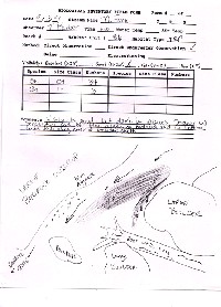 Click on image to enlarge (126K).
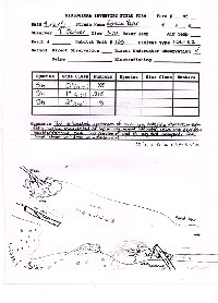 Click on image to enlarge (121K).
To learn more about this topic click Info Links
To view additional information (data source, aquisition date etc.) about this page, click Metadata
| www.krisweb.com |
