| Area |
Lower Garcia / Estuary |
| Topic |
Tour: River Level #5 Lower Garcia from Lower Kendall to Stornetta |
 Click on image to enlarge (42K). Click here to display a larger version (375K).
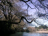
A mature alder forms an artistic frame for this photo taken looking downstream on the lower Garcia River on Kendall property. Photos by Pat Higgins. February 2002
 Click on image to enlarge (42K). Click here to display a larger version (389K).
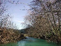
Looking upstream on the lower Kendall property where the lower Garcia River is confined between intact riparian hardwood communities. The scour created here makes a channel over six feet deep with the tree limbs providing excellent cover for juvenile salmonid rearing. Photos by Pat Higgins. February 2002
 Click on image to enlarge (30K). Click here to display a larger version (289K).
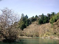
The lower mainstem Garcia River is shown here looking downstream toward the Redwood Hole, which marks the full transition to the open terraces of the lower river. Photos by Pat Higgins. February 2002.
 Click on image to enlarge (17K). Click here to display a larger version (200K).
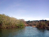
The lower mainstem riparian zone here near Windy Hollow crossing was once more open as a result of gravel mining. Defined riparian zones here help to prevent soil erosion and the formation of more complex and stable fish habitat. Photos by Pat Higgins. February 2002.
 Click on image to enlarge (19K). Click here to display a larger version (179K).
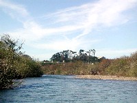
This photo was taken looking downstream on the Henry Stornetta Ranch. The stable banks and thriving riparian communities are a result of cooperative restoration project (see Tour: Restoration #1 Henry Stornetta Site #1N Before/During/After). Photos by Pat Higgins. February 2002.
To learn more about this topic click Info Links
To view additional information (data source, aquisition date etc.) about this page, click Metadata
 Click on image to enlarge (42K). Click here to display a larger version (375K).
 Click on image to enlarge (42K). Click here to display a larger version (389K).
 Click on image to enlarge (30K). Click here to display a larger version (289K).
 Click on image to enlarge (17K). Click here to display a larger version (200K).
 Click on image to enlarge (19K). Click here to display a larger version (179K).